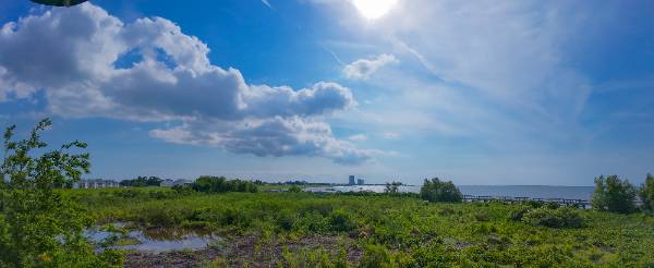
Photo by me
You hear me mention boundaries a lot if you follow my daily forecasts. They are a big factor in the weather we experience, and are especially important when forecasting for NOLA. I decided to give you a quick explainer on boundaries.
A boundary is just a dividing line between two different air masses or wind flows. Sometimes they're obvious, like a cold front ripping through. Other times they're subtle: an outflow boundary from yesterday's storm, or the sea breeze pushing inland off the Gulf.
Why do they matter? They force air upward.
Thunderstorms need rising air. Heat and humidity are the fuel, but something has to start the lift. A boundary works by pushing air together along a narrow zone. When air piles up near the surface, it has nowhere to go but up. If the atmosphere is unstable enough and the cap is weak enough, that rising air turns into a tower and eventually a storm.
That's why one neighborhood can get hammered while another stays bone dry. The ingredients look the same everywhere, but one spot has a boundary nearby and the other doesn't.
Here in the New Orleans area, boundaries are the whole game. We've got water on three sides. As I explained in my last post, the Gulf breeze pushes in from the south. A lake breeze rolls off Pontchartrain. Some days those breezes collide right over the metro. Where they meet, air gets squeezed together and lifts, and that narrow zone becomes a storm factory.
Outflow boundaries are another beast. When a thunderstorm rains itself out, cool air rushes away from the storm and spreads out near the ground. That leading edge acts like a mini cold front. You can spot it on radar, a thin arc or line moving away from the storm. Even after the original storm dies, that boundary can trigger new storms somewhere completely different.
This is why summer forecasting is so tricky. The morning looks quiet. Then one storm fires in the wrong spot, sends out a boundary, and reshapes the whole afternoon. A model can't handle that well, especially if the boundary came from a storm the model didn't even put in the right place to begin with.
When I'm hunting for boundaries, I start with radar and satellite. On radar: thin lines, arcs, little wind shifts ahead of storms. On visible satellite: lines of developing cumulus clouds. That's air rising along a boundary. Surface observations help too. If nearby stations show different wind directions, or sharp temperature and dew point changes over a short distance, there's probably a boundary between them.
Boundaries don't guarantee storms. They're just one piece of the puzzle. If the air's too stable or the cap's too strong, all you get is clouds. But if there's enough moisture, instability, and lift, that same boundary is exactly what gets storms going.
So when the forecast says "scattered," boundaries are why. They're small, local, and hard to predict in advance. But they make a huge difference in where storms actually form.
That's why 30% doesn't always mean a 30% shot for everyone. Sometimes it's not about the whole region getting rain. It's about whether one of these invisible lines can find enough fuel and lift to pop a storm in the right spot.
```
💬 Comments